Imagine Anything
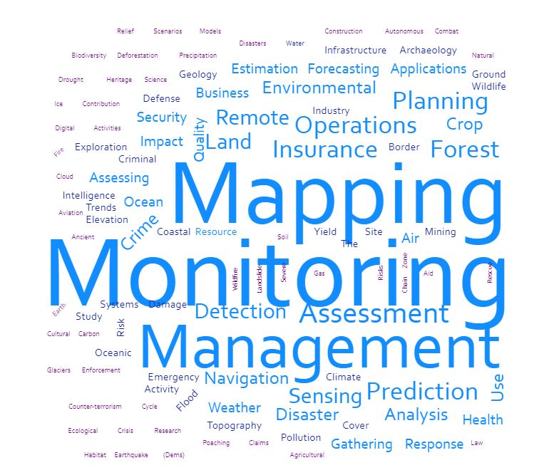
What We Do
Earth's dynamic systems in ways that were once unimaginable.
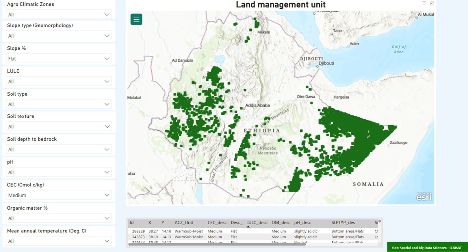
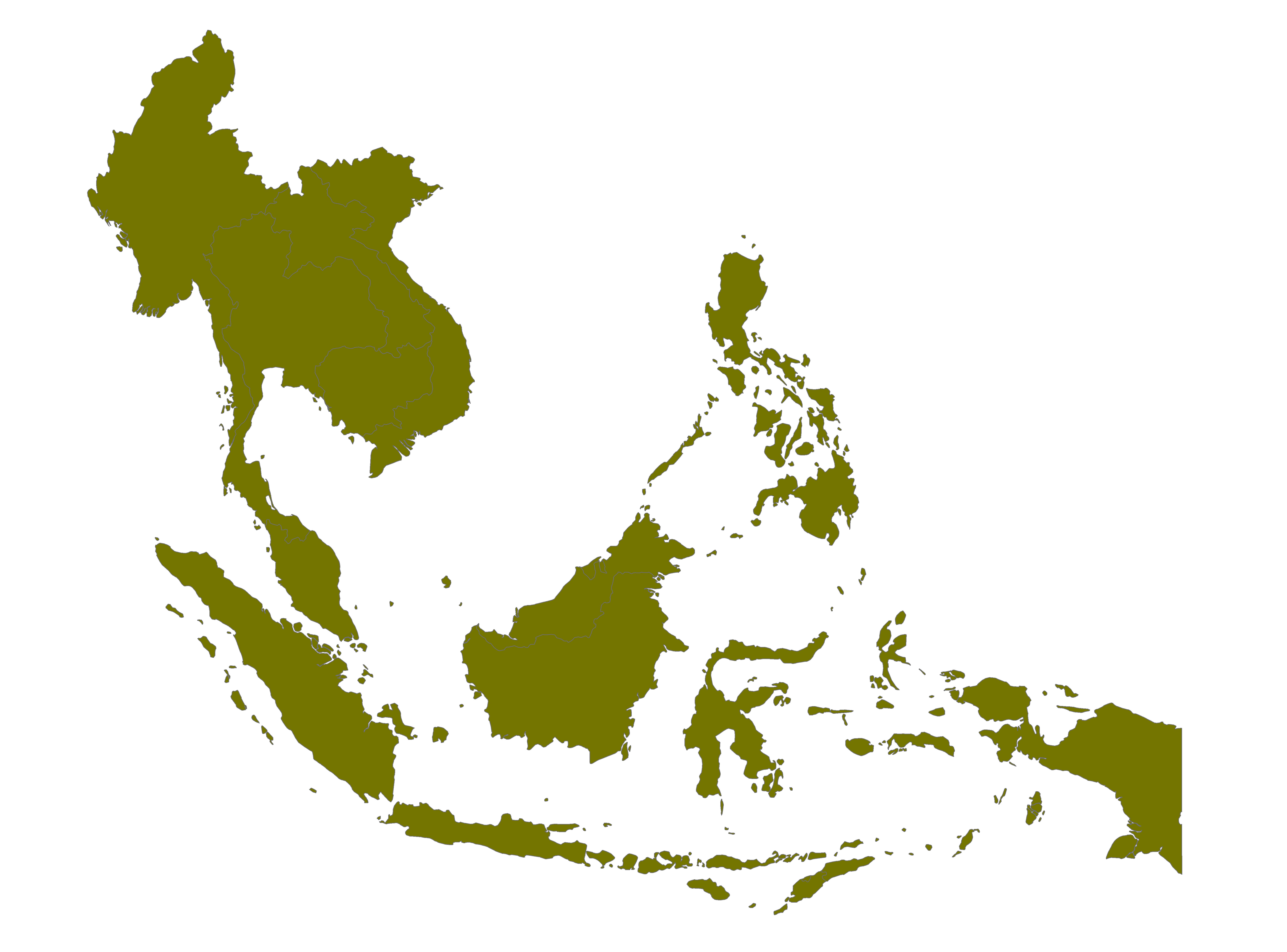
Natural Resource Management
Natural Resource Management (NRM) technologies encompass a diverse set of tools and innovations aimed at the sustainable use and conservation of natural resources.More...
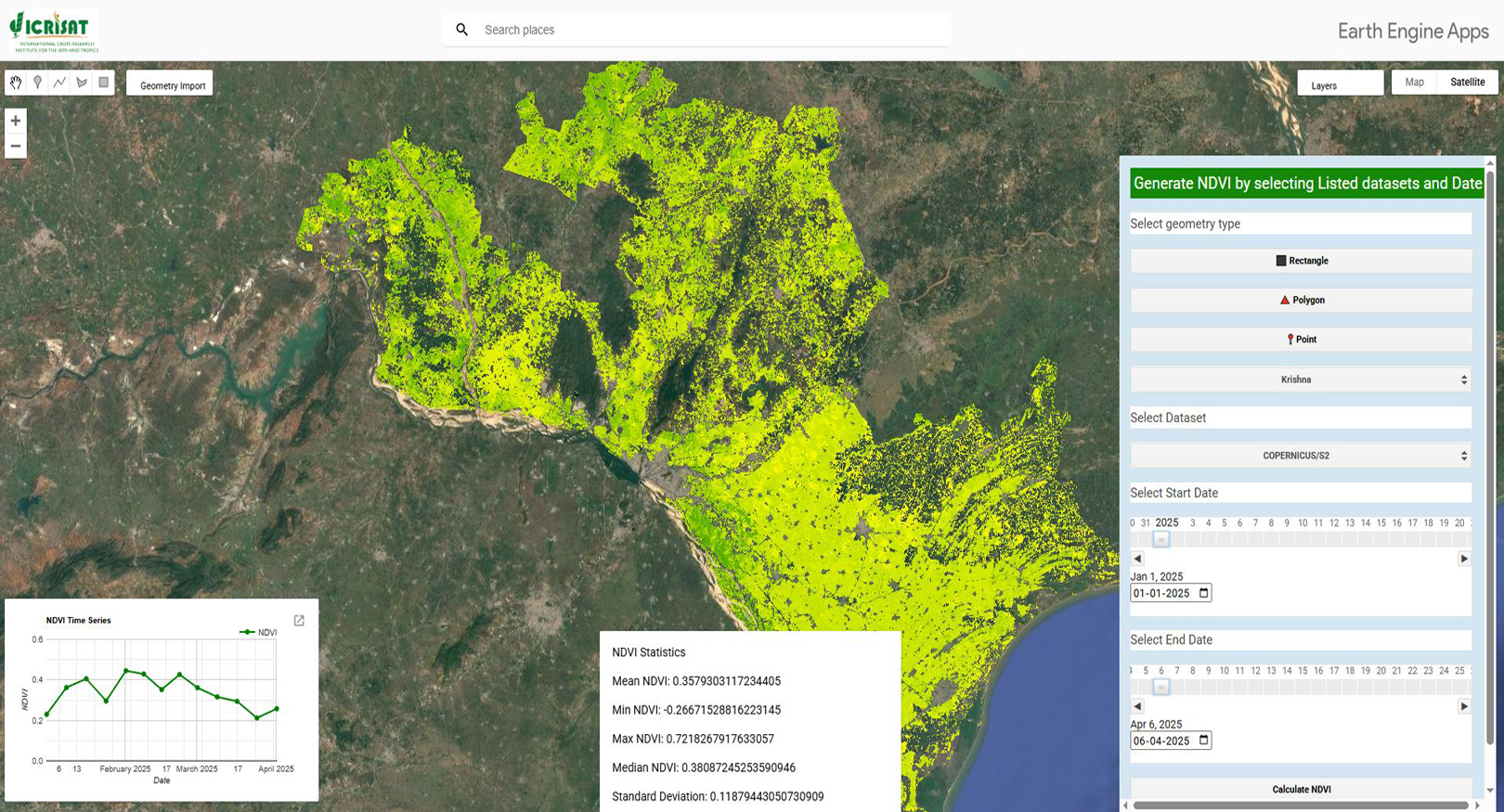
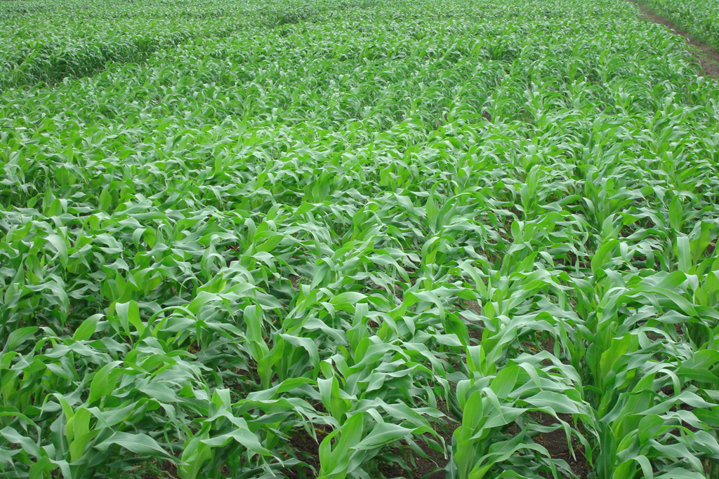
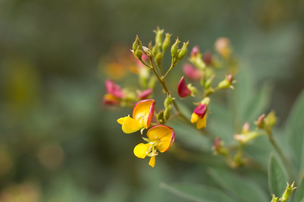
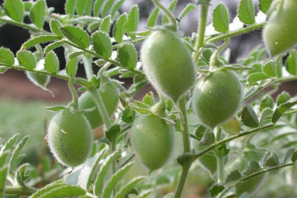
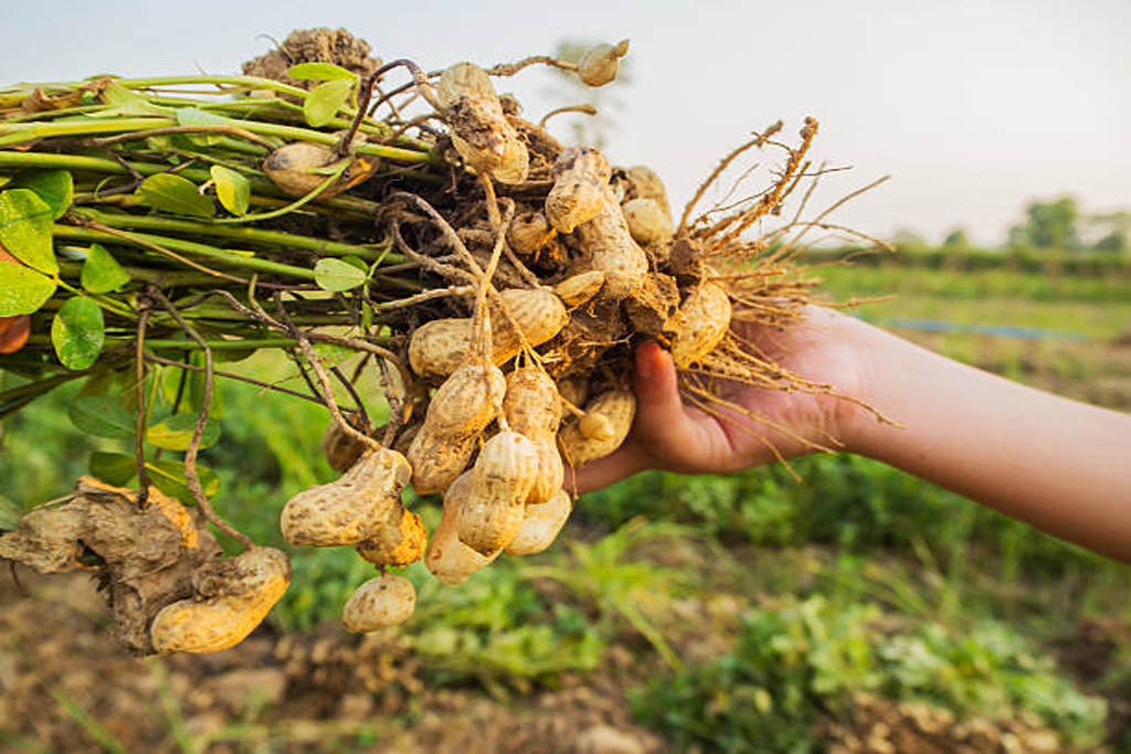
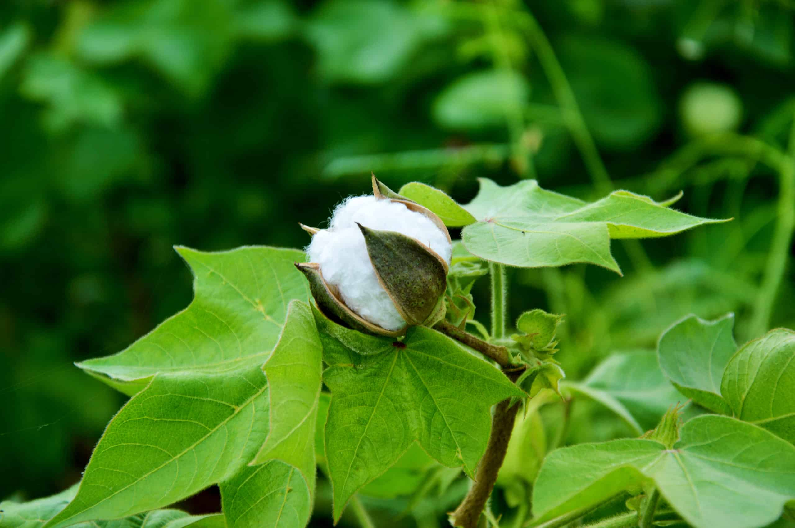
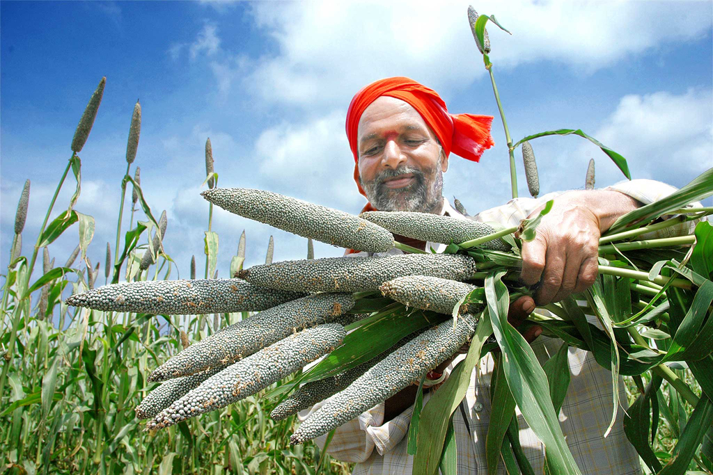
Agriculture and Food Security
Agriculture plays a pivotal role in ensuring global food security, as it provides the primary means of sustenance for the world's growing population. More...
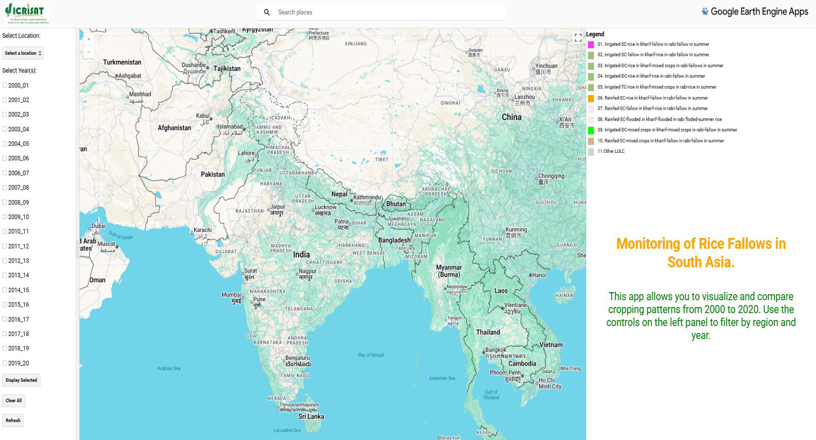
LULC & Environment
Land use and land cover (LULC) are critical components in understanding the interactions between human activities and the environment.More...

Impact Assessment
Impact assessment is a systematic process used to evaluate the potential or realized effects of a project, policy, or intervention on its surrounding environment, economy, and society. More...

Weather and Climate
Weather and climate are distinct yet interconnected components of Earth's atmospheric system.More...